Contact
The internal editorial office
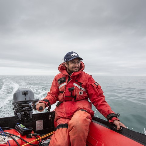
The large seabird colonies in northern Hudson Bay reveal an abundance of fish beneath the surface. However, relatively little is known about these Arctic ecosystems. In the summer of 2024, scientific surveys of the fish populations were conducted here for the first time. Researchers from the Swedish University of Agricultural Sciences (SLU) traveled to northeastern Canada, where they used a sailing drone to explore the depths of the sea.
The sea ice covers northern Hudson Bay for 9 to 10 months each year, making it difficult to conduct surveys. There is also no commercial fishing in the area, partly due to the ice conditions but also because of the vast distance to ports and other infrastructure, says SLU researcher Jonas Hentati Sundberg.
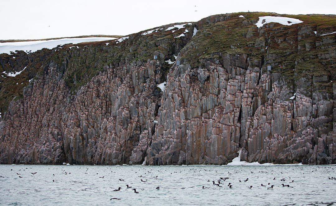
But the area is far from lacking fish. There are large seabird colonies, notably the thick-billed murre, which spend the ice-free months in Hudson Bay, feeding on polar cod and increasingly on capelin—two small pelagic fish species in the Arctic.
For over 20 years, Canadian researchers have studied the thick-billed murres on Coats Island. The colony is part of standardized environmental monitoring funded by Environment and Climate Change Canada and carried out by researchers from several universities, including McGill University in Montreal.
Seabirds here, as in many other parts of the world, are valuable indicators of what is happening in the ocean. Every day, thousands of murres fly out to dive for fish around the colony. However, knowledge about fish stocks in Hudson Bay has been, to say the least, scant. This missing puzzle piece has made it difficult to predict how the birds will fare if fish stocks change due to climate change or the start of commercial fishing.
This is where Swedish researchers come into the picture. In recent years, they have developed technology to conduct large-scale data collection on marine ecosystems using a remotely controlled sailboat. The sail drone is equipped with an advanced echo sounder that sends out a high-frequency sound signal into the water every two seconds and listens to the echoes bouncing off plankton, fish schools, and the seabed.
“Around the Baltic Sea's largest seabird colony, Stora Karlsö off Gotland, a drone has been patrolling for the past five seasons, giving us a detailed picture of fish abundance, movements, and behavior. Now it was time to test the technology in a much more remote and challenging ecosystem,” says Jonas Hentati Sundberg.
“The comparison between the Baltic Sea and Hudson Bay is particularly interesting because there are similar bird species (common murres and thick-billed murres), but while the Baltic Sea is heavily impacted by humans through large-scale fishing, the human impact on Hudson Bay is still significantly less,” says Jonas Hentati Sundberg, who, along with Joakim Eriksson from AI Sweden, spent nearly a month at a remote research station on Coats Island.
The study was made possible with support from the Arctic Research Foundation/Stockholm University and the Voice of the Ocean (VOTO) foundation.
Below, Jonas and Joakim share their experiences in diary format.
---------------------------------------------------
Arrival in Iqaluit (ᐃᖃᓗᐃᑦ in the local Inuktut language), a three-hour flight straight north from Ottawa. A central hub for the Inuit population in Nunavut, with a population roughly the size of Lysekil. The harbor is still full of drifting ice.
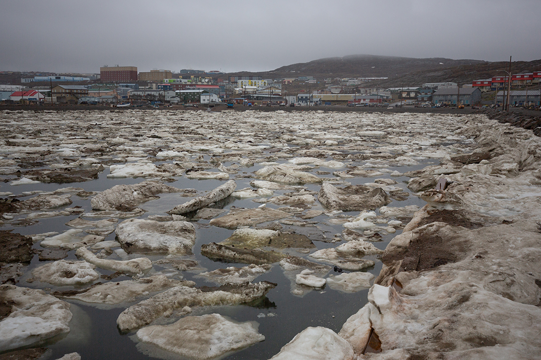
The sail drone from Sweden, on loan from the Voice of the Ocean foundation, arrived ten days ago and is currently housed in its 200 kg wooden crate in the warehouse of Environment and Climate Change Canada on the outskirts of the city. Drizzling rain and a temperature of six degrees. The city's two most common bird species: snow bunting and raven! Tomorrow's specially chartered flight to Coats Island (Appatuurjuaq, ᐊᑉᐸᑑᕐᔪᐊᖅ) has been canceled due to poor weather forecasts.
Looks like we're on our way! We’re packing the equipment, including around 100 kg of food, an inflatable boat with a motor, the sail drone, coolers for samples, and we drive straight out onto the runway. There are three of us flying today; four colleagues have already been on the island for a few days to set up the station.
We take off through scattered fog banks—flying over tundra, wetlands, rivers, archipelagos, and the vast waters of Hudson Bay, with plenty of snow and ice floes. In some places, icebergs are tens of meters high—and this is still considered the Low Arctic by Canadian standards, at the same latitude as Sundsvall. We see pods of belugas lying almost motionless near the surface—and after about two and a half hours, Coats Island comes into view through the plane windows.
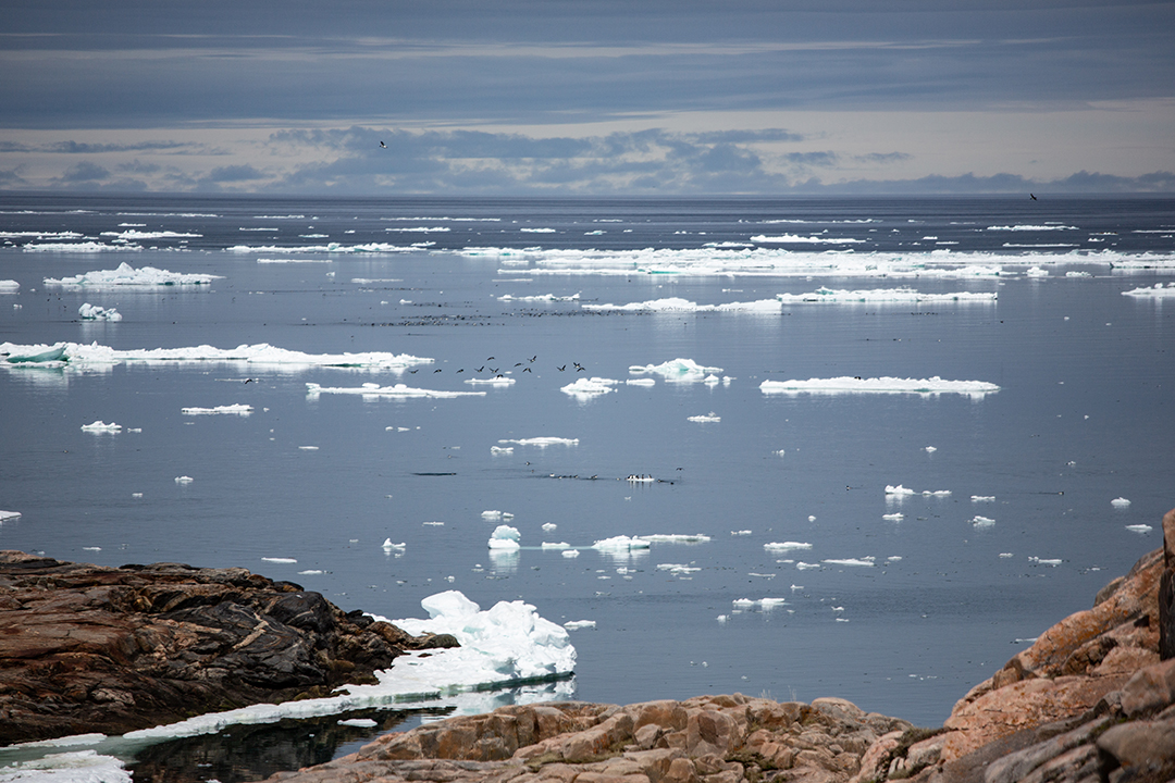
After a nerve-wracking descent over sharp cliffs, we land on a gravelly beach. But where are our colleagues? Great confusion ensues. Through a satellite phone, we find out that the pilot landed on the wrong beach. After the shortest flight of our lives—less than three minutes—we land a kilometer to the east, closer to the field station.
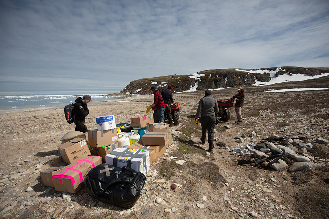
The morning begins with shooting practice. Coats Island is one of the Canadian field stations in the Arctic with the most polar bear encounters. We constantly carry weapons—shotguns with five slug rounds in the magazine and five more in the pocket. All movements are reported via radio to colleagues. Handling the firearms feels strange and uncertain at first, but it becomes a routine. Around the two cabins where we sleep and eat, there is a seven-wire electric fence.
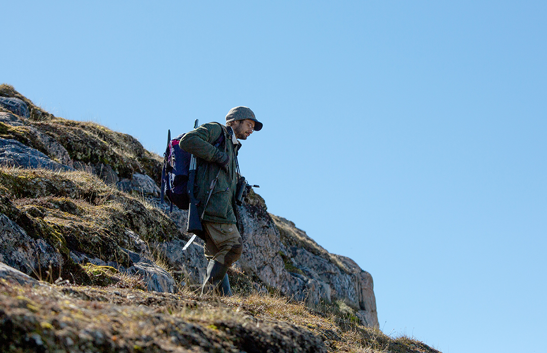
We live in a simple cabin, seven people in bunk beds. The walls are made of basic particle board, with no heating or insulation. It’s nice to have a sleeping bag rated for -10°C! In another cabin, there’s a kitchen and dining area. We are well-stocked with food—canned goods, dry goods, and some dairy products—worth over 100,000 SEK, which were flown in at the start of the season.
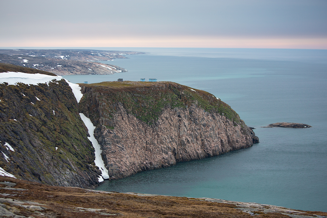
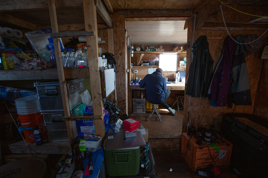
We inflate the rubber boat. Refill oil in the boat's motor. We connect a Starlink antenna, powered by a gasoline generator, to communicate with our sail drone. Everything seems to be working!? We drag the boat down to the beach, put on survival suits, and paddle out into the calm but rather ice-filled waters.
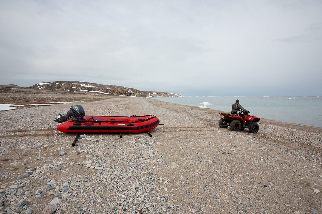
The boat engine starts! We weave our way between ice floes, keeping an eye out for polar bears and walruses, heading out into the bay. A large belt of drifting ice prevents us from launching the drone right by the shore—we head toward the bird cliffs. Swarms of thick-billed murres fly toward and over us, swimming close to the boat, sometimes diving from the surface into the water, all at once, as if on cue.
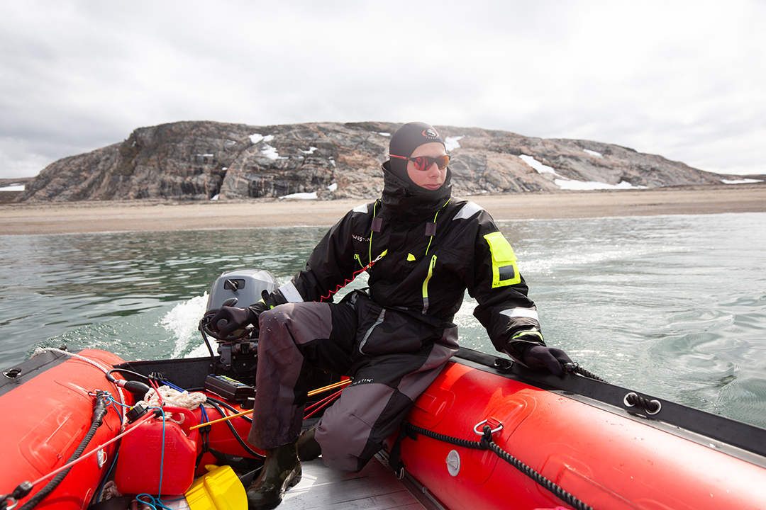
We launch the drone on a course northward—away from the shore—heading into the yet unknown.
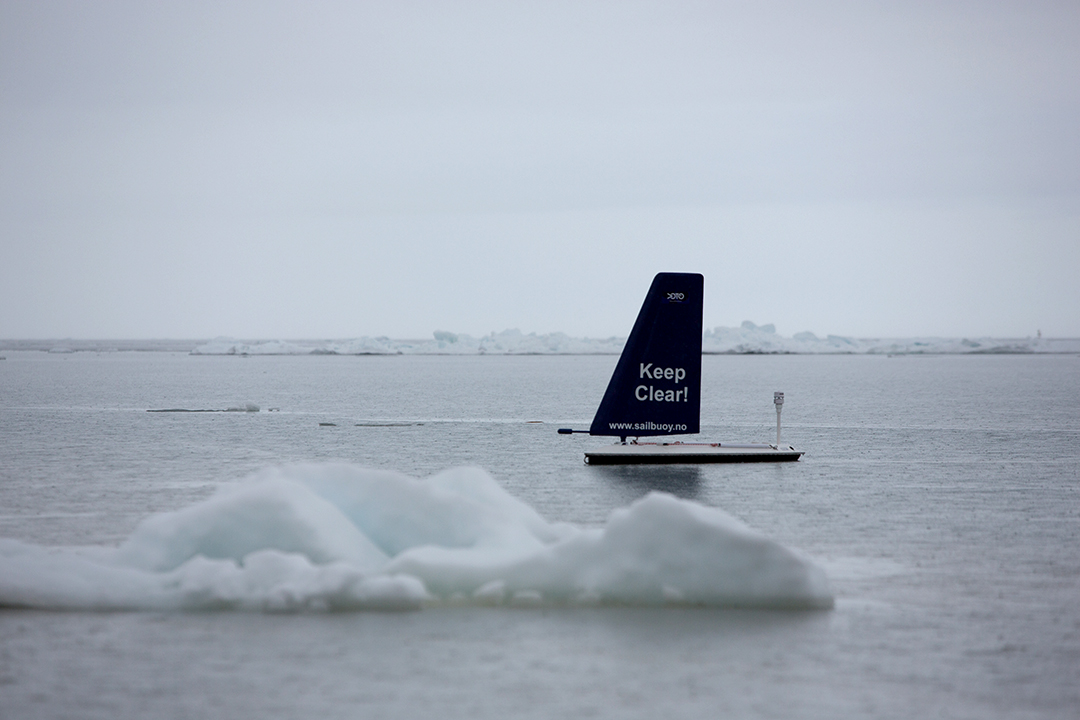
Back on land, we check the position, direction, and the data sent every ten minutes via the drone's satellite communication. Everything seems to be working! A great relief—and great excitement as the data starts to stream in. The water temperature varies between 0.9 and 2.8 degrees, not exactly swimming temperatures.
The data collection will continue for a few weeks, with transects fanning out from the bird colony.
Today, we are sailing in a northwesterly direction while the wind is coming from the southwest, which should generally provide favorable conditions. But suddenly, something happens. The drone veers off course and begins drifting southwest, with the wind.
The sensors on the sails also indicate that something is wrong—the sail is flapping back and forth, and the rudder doesn’t seem able to correct the course. The drone is not responding to commands and is drifting steadily in the wrong direction. It’s too far out to take the rubber boat in these conditions, and too far out to see anything with binoculars.
On the horizon, we get a clue as to what is likely happening. A massive ice floe, several kilometers long, is drifting with the wind. Our drone is probably stuck and steadily heading out into unknown waters. After four nail-biting hours, the drone somehow breaks free and resumes its northwesterly course. Over the next week, the sea ice recedes quickly, and by mid-July, only a few small ice floes are visible from the island.
As long as the drone is sailing around collecting data, we can take the opportunity to explore the island. Coats Island is almost twice the size of Gotland but currently uninhabited. It is regularly visited by hunters from the community of Salliq (Coral Harbour), located 100 kilometers to the north. On Coats Island, one can hunt walrus, polar bear, and especially caribou. Until the 1800s, a now-extinct branch of the Inuit population, the Sadlermiut, lived here and on nearby Shugliaq (Southampton Island).
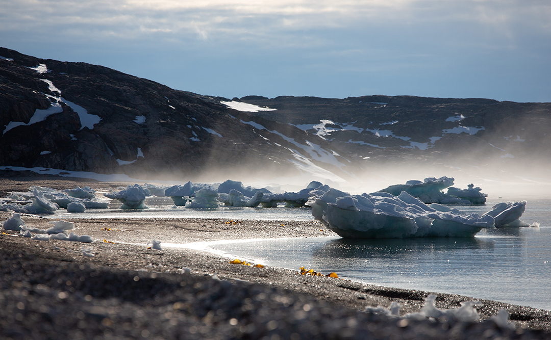
We hike across the island and see traces of settlements and graves. South of Cape Pembroke, we approach a large walrus colony. But we also spot fresh polar bear tracks in the snow and sand.
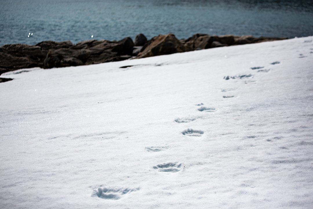
We scan the mountainside with binoculars, and there it is—lying on its back—playfully rolling around in the snow. The distance is about three hundred meters—and it's a rush of emotions all at once: fear, excitement, triumph, awe, and thrill. We snap a few pictures and turn away—if we had kept going, we would have walked right up to it. It didn’t seem to notice us, and we keep an eye on it for the next hour as we move away from the area.
While we work with the drone, our colleagues are studying the birds on the cliffs. The thick-billed murres are now sitting on eggs that are expected to start hatching in about a week. Some birds have been equipped with light loggers over the winter, which recorded where they have been. Others are fitted with GPS trackers that can provide detailed information on where they fly and find food during the breeding season. From specially built hides, almost hanging off the cliff ledges, several hundred birds are monitored daily. Leg rings from previous years are read to, for example, calculate their survival and study their fidelity to their nesting site and mate.
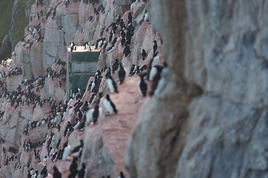
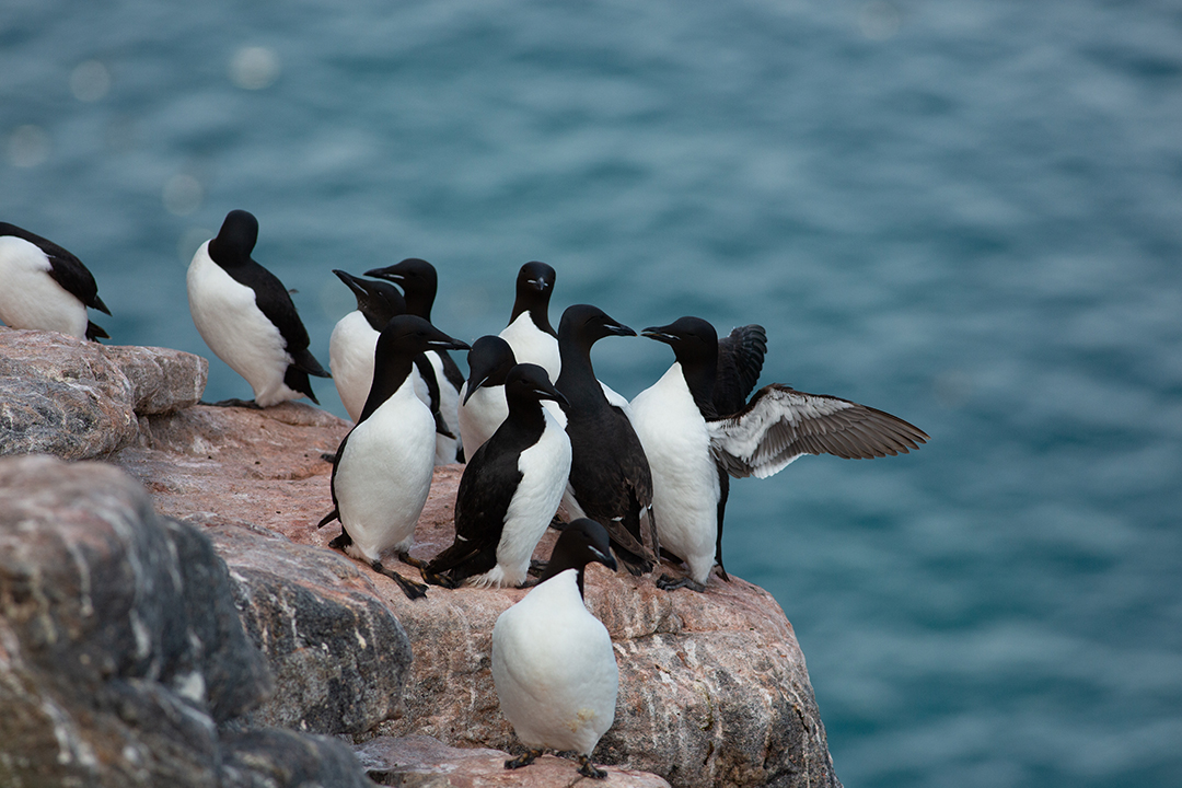
The thick-billed murre, along with its close relative, the common murre, which we ourselves study at Stora Karlsö off Gotland, are among the most studied seabird species in the world. By using comparable methods, researchers around the globe can use these murres as indicators of the state of the oceans.
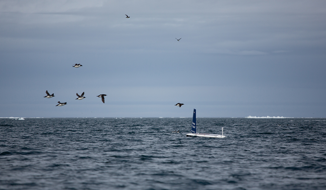
The drone has been out for a couple of weeks. In addition to collecting detailed weather data, water temperature, and salinity, it has been using an echo sounder to measure the amount of fish in the water column. In the southern Baltic Sea, where we normally work, there is a lack of oxygen below seventy meters, so no fish can swim deeper than that. Here, we don’t know exactly how deep it is—but the thick-billed murres often dive deeper than one hundred meters—so we are recording data down to one hundred and fifty meters. Every two seconds, the echo sounder sends out a high-frequency signal, whose echo can be interpreted to determine the quantities of both fish and plankton. But to get accurate data, the echo sounder must be calibrated—a special procedure that requires careful preparation.
We have sailed the drone to the coast and towed it out to a location near the bird cliffs. Anchored with a mooring line at the bow and an anchor at the stern, we connect the drone's echo sounder to a computer. We then lower a 38.1 mm tungsten ball six meters straight below the echo sounder and begin the calibration. By measuring the strength of the signals received, we can be sure that we are getting accurate readings when assessing the amount of fish from our data. Black guillemots, the most northerly distributed seabird in the world, swim around the boat. The wind is steadily increasing, and the mooring lines are getting tighter. But after half an hour, we are done and can send the drone out again on its next data-collecting adventure.
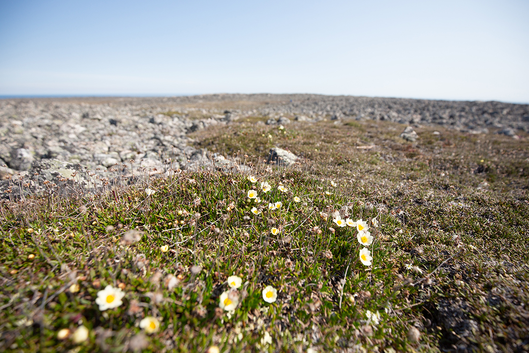
It’s starting to be time to pack up and leave. In just over two weeks, the island has changed its character—from late winter to summer. The amount of meltwater in the streams has decreased, the sea ice is almost completely gone, and on the tundra, millions of cloudberry flowers are blooming. The berries won’t be ripe for quite some time yet.
We were supposed to fly out yesterday, but with winds of up to 25 m/s, the plane from Iqaluit didn’t even attempt the trip. Now things are looking more promising, and we’re making our final efforts—labeling equipment that will be sent back to Sweden, packing, and tidying up. Around 1:30, a buzzing sound is heard, and the plane appears, circles over the beach, and then decisively lands in the beach gravel.
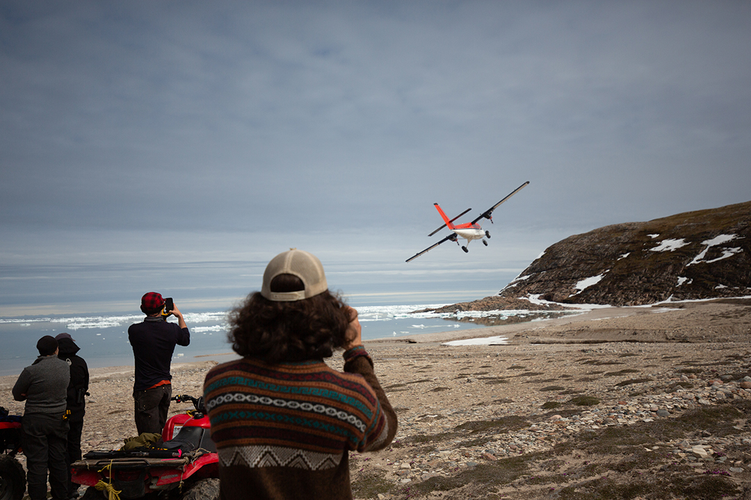
We fly at an altitude of one thousand feet straight north to Salliq for refueling, and then another two and a half hours to Iqaluit. While the drone continues to operate for a couple more weeks, controlled via satellite from Sweden, we suddenly find ourselves in a 27-degree Ottawa, and less than a day later, back in Sweden.
The conditions are favorable. Wind and tidal currents allow for optimal sailing toward the shore on northeastern Coats Island. We communicate with the field team via satellite phone and, at 11:30 local time, guide the drone onto the beach, a few hundred meters west of the bird colony.
The drone is lifted onto an ATV and placed in the beach shed, awaiting the next flight to Iqaluit.
In early October, the crate with the drone, other equipment, and all the data flies back to Sweden.
This fall, the analysis work begins, aiming for the first-ever assessment of fish quantities in northern Hudson Bay and linking the seabirds' foraging behavior to the dynamic and changing Arctic marine ecosystem.
A first look at the data reveals exciting patterns—some areas with large fish schools (light green areas in the image, click the link above), while in other places, the water is almost empty. Alongside the analysis, planning for next year’s field season in Hudson Bay is already underway. Tentatively, we will work around Digges Island, home to one of the world’s largest colonies of thick-billed murres, with several hundred thousand pairs.
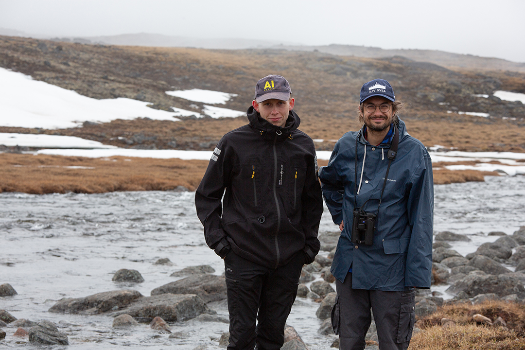
/Joakim Eriksson (t.v.) och Jonas Hentati Sundberg (t.h.)
Text: Jonas Hentati Sundberg
Photo: Jonas Hentati Sundberg and Joacim Eriksson
The internal editorial office